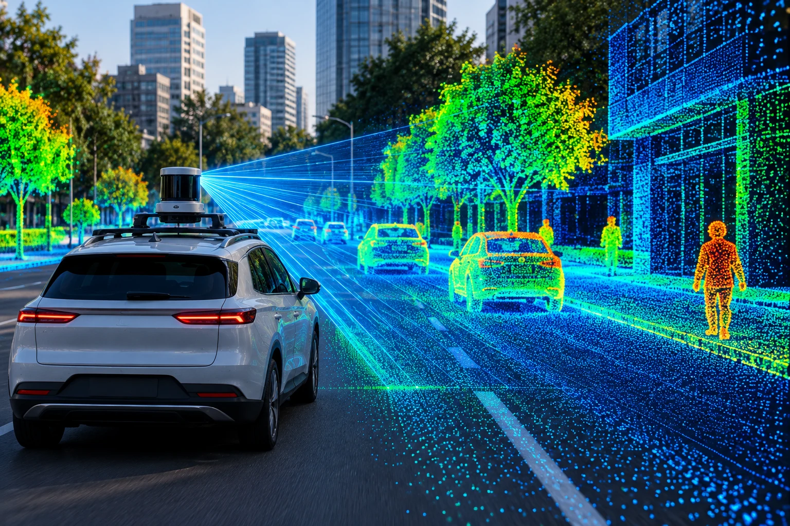
LiDAR Analytics is the process of analyzing data collected by Light Detection and Ranging (LiDAR) sensors to understand the shape, distance, and position of objects and environments. LiDAR sensors emit laser pulses and measure the time taken for reflections to return, creating detailed three-dimensional representations called point clouds. Software can then analyze these measurements to identify objects, surfaces, distances, elevation, and spatial patterns.
For example, a construction team can use LiDAR data to measure a building site and compare actual conditions with design plans. This improves measurement accuracy and reduces manual surveying. Applications include autonomous vehicles, mapping, construction, forestry, urban planning, infrastructure inspection, and environmental analysis.