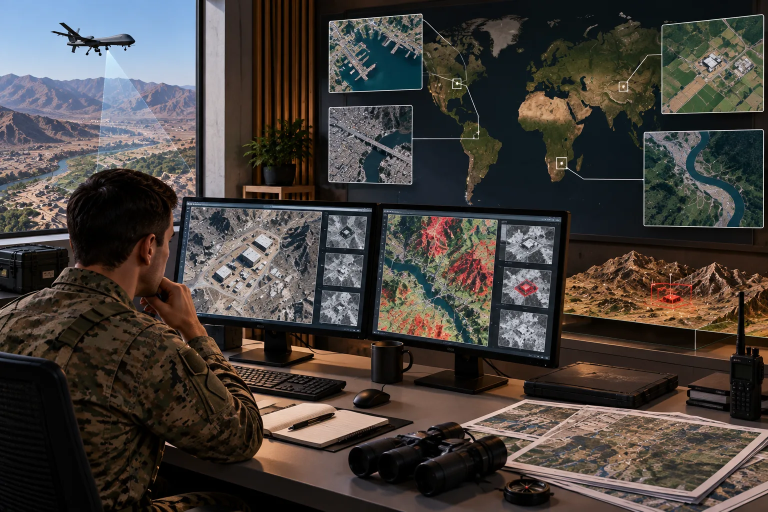
Geospatial intelligence is the process of collecting, analyzing, and interpreting information connected to geographic locations to understand activities, patterns, and changes across physical areas. It combines location-based data from sources such as satellite imagery, maps, sensors, aerial photography, and positioning systems with other information. This helps users develop a clearer picture of what is happening in a particular place.
Geospatial intelligence is used in defense, disaster response, transportation, environmental monitoring, infrastructure planning, and security. For example, analysts can compare satellite images taken at different times to identify changes in roads, buildings, vegetation, or waterways. By combining geographic information with analysis, it helps organizations assess situations, identify potential risks, monitor developments, and make informed decisions based on location and changing conditions.