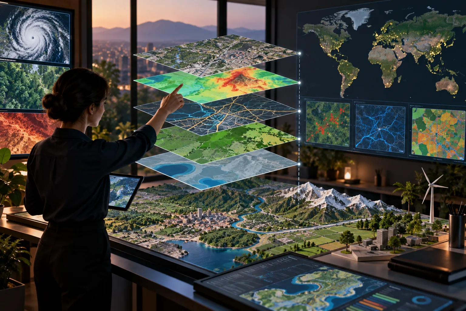
A Geographic Information System (GIS) is a technology used to collect, manage, analyze, and display information connected to specific locations on Earth. It combines maps with data, allowing users to understand where things are, how they are distributed, and how different locations relate to one another. GIS can work with information such as roads, buildings, land use, population, weather, and natural resources.
GIS is widely used in urban planning, transportation, agriculture, environmental management, disaster response, and business analysis. For example, planners can use GIS to study traffic patterns, identify suitable locations for new facilities, or assess areas at risk from flooding. By combining geographic information with other data, GIS helps users visualize patterns, compare locations, make informed decisions, and better understand changes across physical spaces.