
AI Smart City Surveillance Implementation
Urban Operations Intelligence
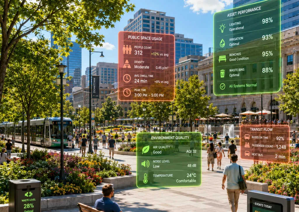
Cities operate through thousands of interconnected activities every day, from traffic movement and public transportation to civic infrastructure, public spaces, and emergency services. Managing these dynamic environments requires more than monitoring isolated events; it demands continuous awareness of how urban activities influence public safety, municipal services, and infrastructure performance. Urban Operations Intelligence provides a unified operational perspective that helps city authorities recognise emerging situations, coordinate resources across departments, and make informed decisions that improve service delivery. AI Monitoring supports this approach by transforming city-wide operational activities into actionable intelligence while enabling efficient, resilient, and citizen-focused urban management.
Executive Summary
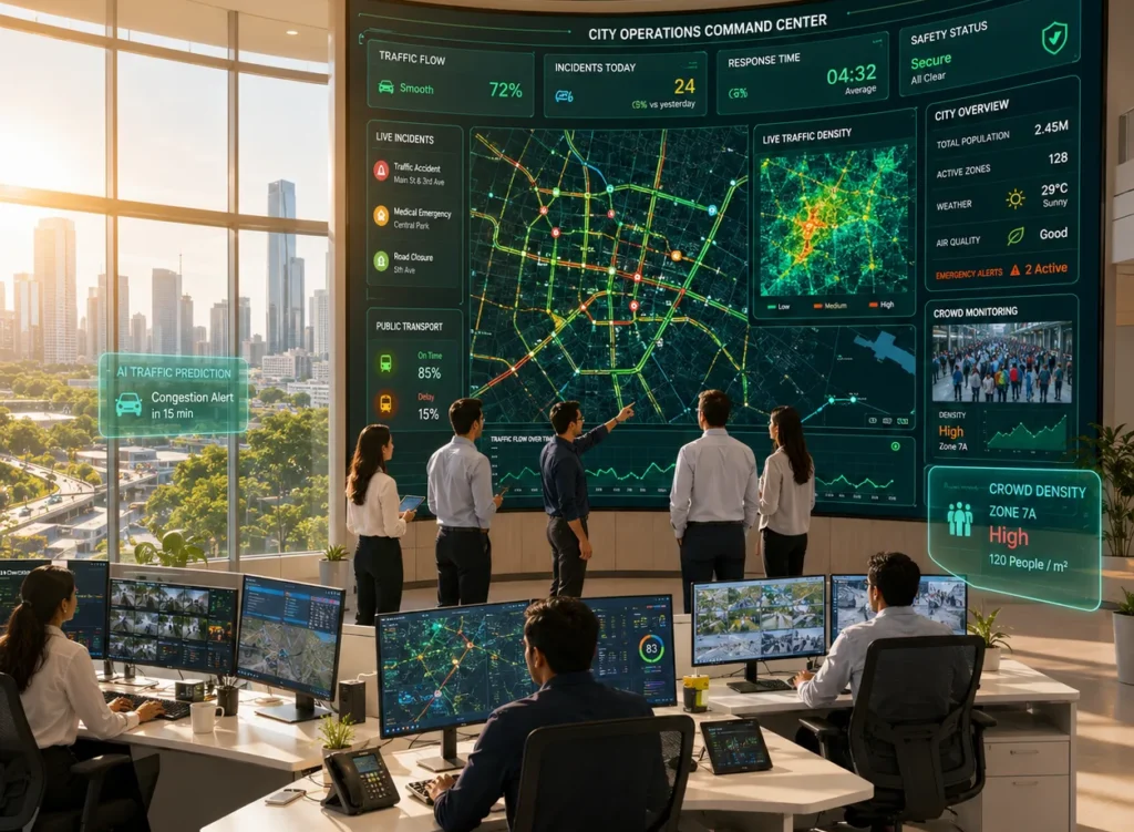
A municipal authority sought to improve visibility across key urban locations while enhancing coordination between public safety, transportation, and civic service departments. Existing surveillance infrastructure captured extensive video data, but operational teams relied heavily on manual observation and fragmented systems to identify incidents, prioritise responses, and coordinate field operations.
SPGS introduced an Urban Operations Intelligence framework using AI Monitoring to strengthen city-wide operational awareness. By analysing activities across roads, public spaces, transport corridors, and civic infrastructure, the initiative enabled municipal departments to respond more efficiently, improve situational awareness, and support better-informed urban decision-making without disrupting existing city operations.
Customer Profile
Industry: Smart City & Municipal Administration (Anonymous)
Project Scope
- City-wide surveillance network
- Public roads and intersections
- Parks and public gathering areas
- Transportation corridors
- Municipal infrastructure
- Integrated command and control centre
- Continuous 24×7 operational monitoring
Operational Environment
The municipality managed a diverse urban landscape consisting of transportation networks, public facilities, commercial districts, pedestrian areas, and critical civic infrastructure. Daily operations required coordination between multiple departments responsible for traffic management, emergency response, public safety, infrastructure maintenance, and municipal services. Although surveillance systems were already deployed across the city, converting large volumes of visual information into coordinated operational decisions remained a significant challenge.
Business Challenges
- Limited operational visibility across city departments.
- Fragmented awareness of urban activities.
- Delayed identification of incidents requiring municipal action.
- Coordinating responses across multiple public agencies.
- Managing traffic congestion and pedestrian movement.
- Protecting public infrastructure and shared spaces.
- Supporting long-term urban planning with operational insights.
Project Objectives
- Improve city-wide operational awareness.
- Strengthen interdepartmental coordination.
- Accelerate response to urban incidents.
- Enhance visibility across public infrastructure.
- Support efficient allocation of municipal resources.
- Improve service delivery for citizens.
- Establish an Urban Operations Intelligence framework.
Connecting City Operations Through Continuous Awareness
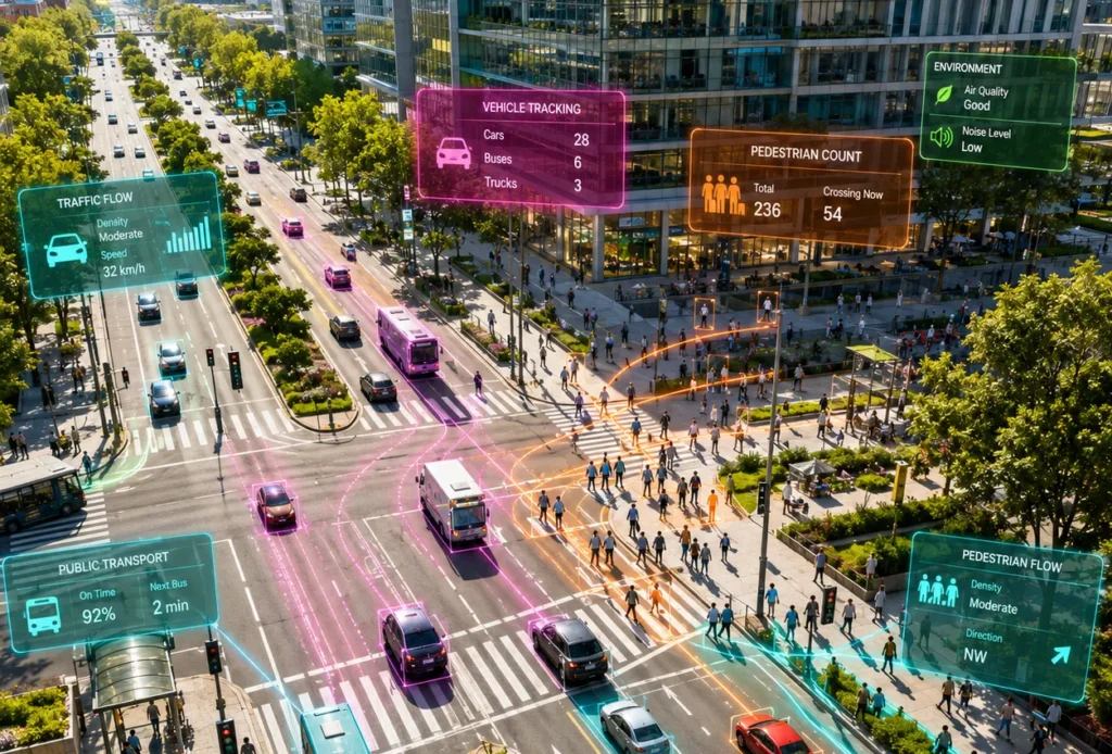
The transformation focused on understanding how different urban activities influenced one another rather than expanding surveillance coverage. Roads, intersections, public spaces, transportation hubs, municipal facilities, and pedestrian zones were viewed as interconnected components of a single operational ecosystem.
Solution Architecture
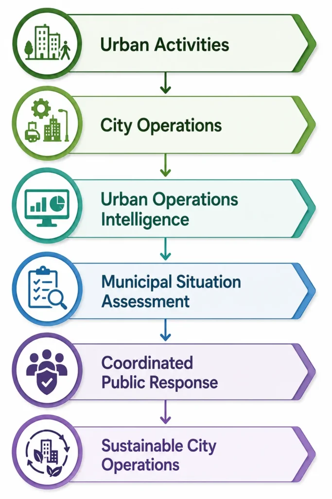
Operational Flow
Operational Technology Ecosystem
Technology | Business Contribution |
AI Monitoring | Continuous observation of urban operations |
Computer Vision | Understanding activities across public spaces |
AI Video Analytics | Detection of operational anomalies and events |
Edge AI | Immediate analysis at distributed city locations |
Geographic Information System (GIS) | Spatial context for municipal operations |
Intelligent Traffic Systems | Traffic flow and mobility awareness |
Integrated Command Centre | Centralised operational coordination |
REST APIs | Enterprise interoperability across city systems |
Operational Decision Intelligence
The solution supported municipal leaders by answering important operational questions:
- Which city areas require immediate municipal attention?
- Are traffic and pedestrian movements operating as expected?
- Which departments should coordinate their response?
- Which public facilities require additional operational support?
- Are emerging events likely to affect city services?
- Where can municipal resources be deployed more effectively?
- Which operational trends should influence future city planning?
Implementation Methodology
The programme began with an assessment of existing surveillance infrastructure, municipal workflows, and departmental responsibilities. Key operational zones, including road intersections, transport hubs, civic buildings, public gathering spaces, and critical infrastructure, were prioritised based on their importance to city operations. AI Monitoring capabilities were introduced through a phased implementation, enabling departments to validate operational alerts, refine response procedures, and integrate intelligent monitoring into everyday municipal activities while preserving existing infrastructure investments.
Enterprise Integrations
System | Business Contribution |
Geographic Information System (GIS) | Location-based operational intelligence |
Intelligent Traffic Management System | Mobility and congestion awareness |
Emergency Dispatch System | Coordinated incident response |
Integrated Command Centre | Central operational visibility |
Municipal Asset Management System | Infrastructure maintenance context |
REST APIs | Enterprise integration across city platforms |
Business Outcomes
- Improved coordination across municipal departments.
- Faster identification of city-wide operational situations.
- Better utilisation of municipal resources.
- Enhanced visibility across public infrastructure.
- Improved traffic and public space management.
- More effective incident response.
- Greater operational resilience for city services.
- Better support for evidence-based urban planning.
ROI & Business Value
The initiative improved municipal efficiency by enabling departments to work from a shared operational picture rather than isolated information sources. Earlier recognition of developing situations, improved coordination across public services, and more effective deployment of field resources reduced operational delays and strengthened service delivery. The result was a more responsive city administration capable of supporting both immediate operational needs and long-term urban development objectives.
Future Roadmap
The municipality plans to extend Urban Operations Intelligence through:
- Predictive Urban Operations Analytics
- AI-Assisted Traffic Optimisation
- Vision-Language Models for Smart City Operations
- Digital Twin Integration for Municipal Infrastructure
- Autonomous Incident Prioritisation
- Enterprise Urban Performance Dashboards
Related Industry Pages
- Smart Cities
- Municipal Corporations
- Transportation Authorities
- Airports
- Seaports
- Public Infrastructure
Related Technology Pages
- AI Monitoring
- Computer Vision
- AI Video Analytics
- Edge AI
- Intelligent Traffic Analytics
- Integrated Command & Control
- Enterprise AI Dashboards
Contact SPGS
Modern cities require operational intelligence that extends beyond traditional surveillance. SPGS helps municipalities build Urban Operations Intelligence through AI Monitoring, Computer Vision, Edge AI, and intelligent operational analytics that improve city-wide awareness, strengthen interdepartmental coordination, optimise public resource utilisation, and support resilient, data-driven urban management.