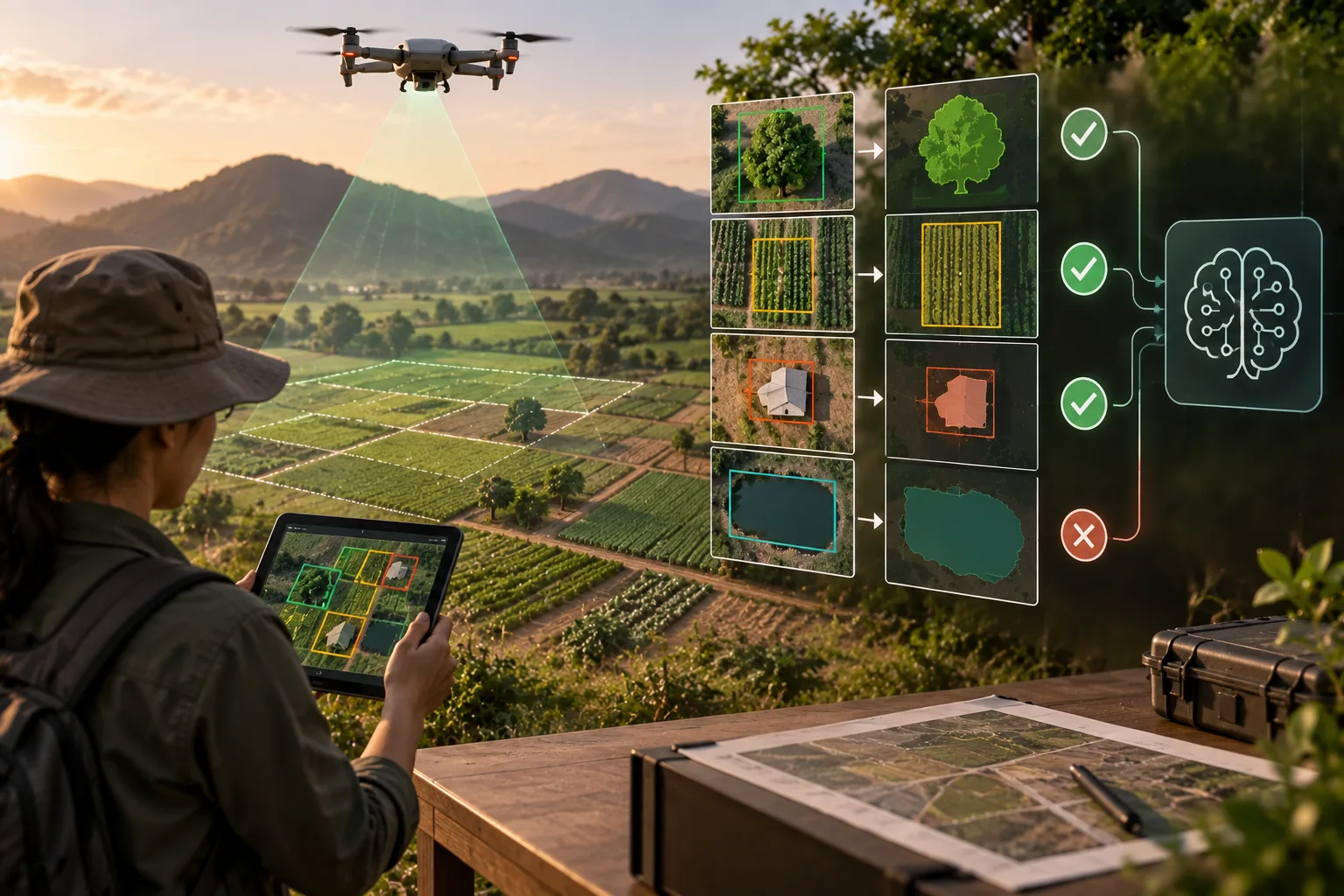
Ground truth is the verified, real-world information used as a reference for evaluating the accuracy of data, models, or predictions. It represents what is actually true or observed, such as confirmed locations, correctly labeled images, measured sensor values, or verified outcomes.
Ground truth is widely used in artificial intelligence, machine learning, computer vision, geospatial systems, and data analytics. Models can compare their predictions against ground-truth data to measure accuracy, identify errors, and improve performance. For example, an image-recognition model can be evaluated by comparing its predicted objects with objects that have been accurately identified and verified by human experts.