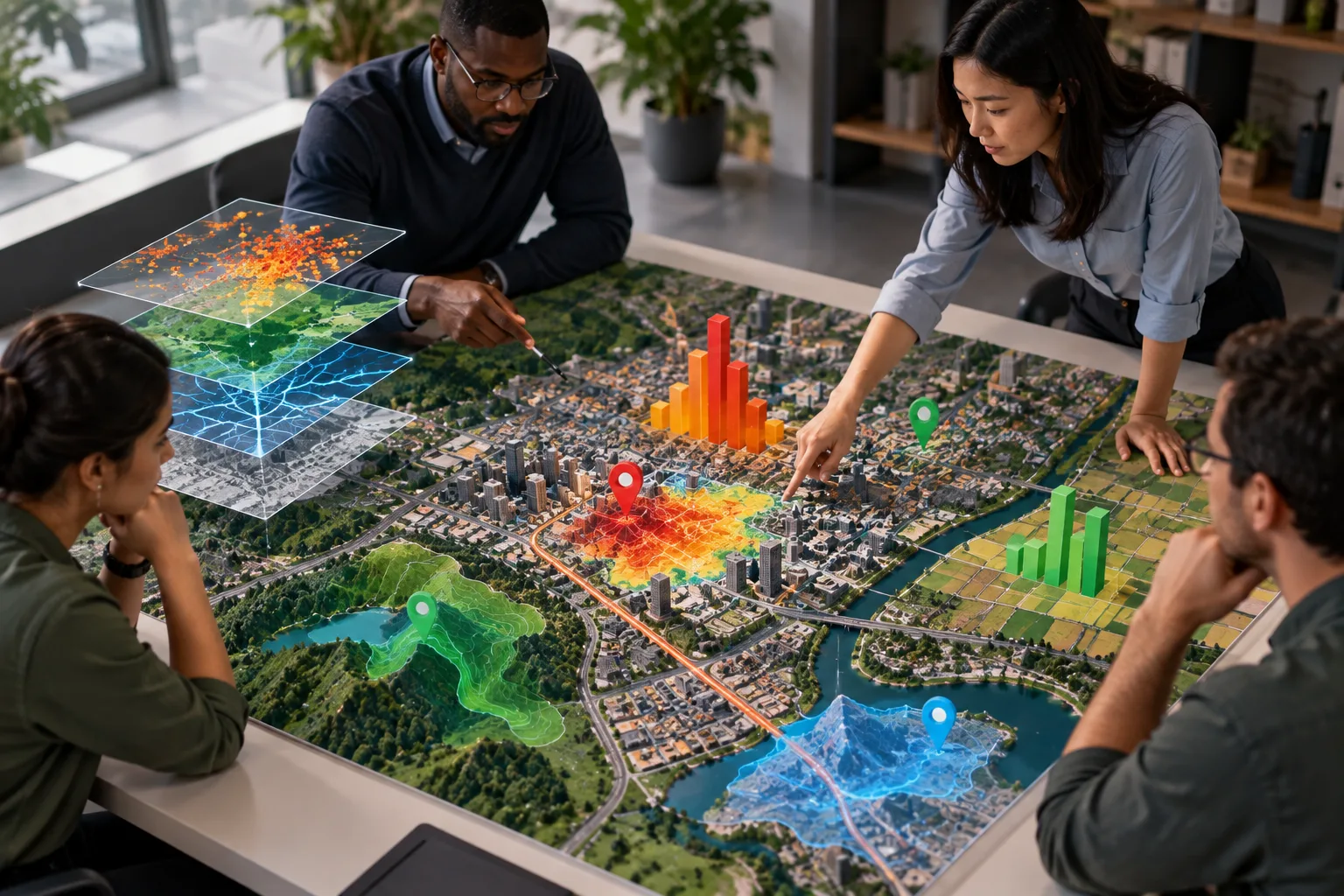
Geospatial analytics is the process of analyzing data based on its geographic location to discover patterns, relationships, and trends across physical spaces. It combines location information with other data, such as population, traffic, weather, land use, or business activity, to provide a clearer understanding of what is happening in a particular area. Results can be presented through maps, charts, and other visual formats.
Geospatial analytics is used in urban planning, transportation, agriculture, environmental monitoring, logistics, disaster management, and business planning. For example, a city can analyze traffic and population data to identify areas that may need improved transportation. By examining both location and related information, organizations can compare regions, identify changes, predict potential issues, and make better decisions based on geographic patterns.